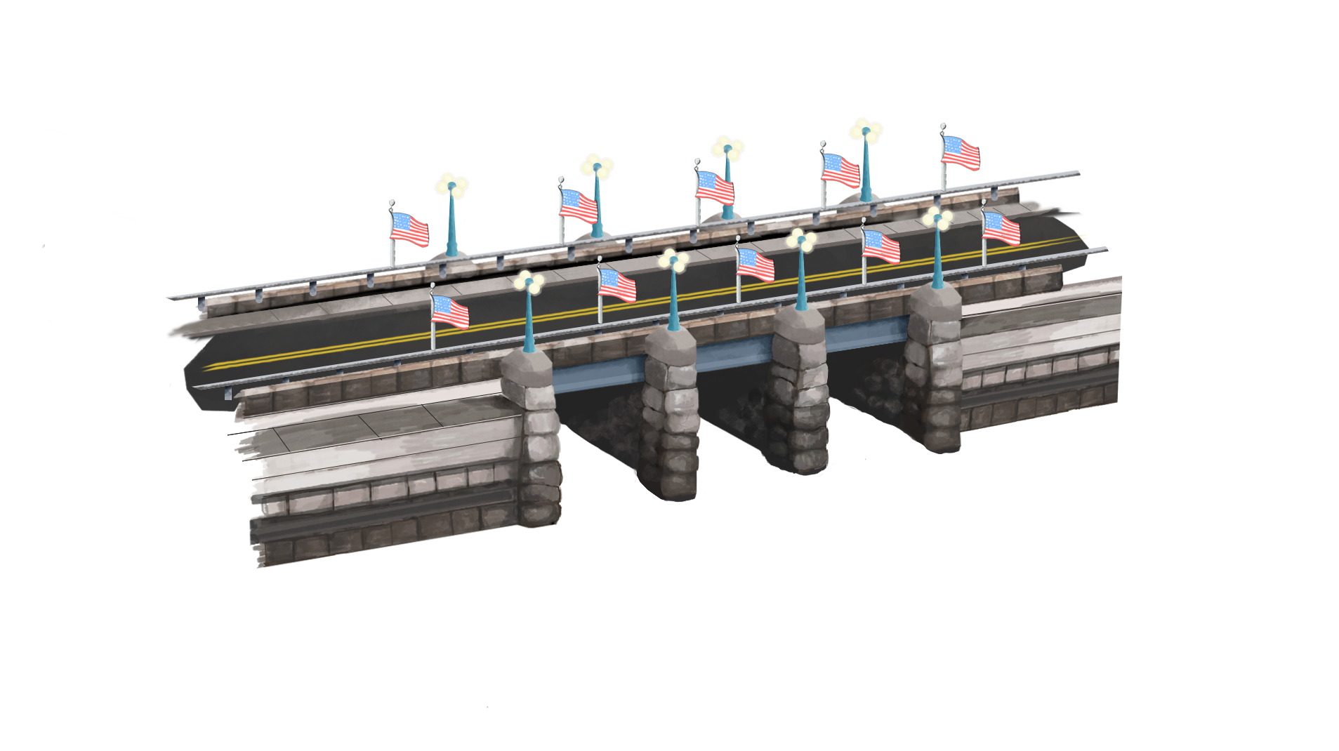
Riverside Realty had come to us and asked for an illustrative map of Westport CT after being inspired by a map made for a neighboring town. Over the course of a 12 month period I digitally drew 40+ illustrations of Westport’s landmarks, beaches, parks, schools, businesses, and other known community buildings. These were all then compiled into a final map of Westport which was printed & framed in their office building! Later on each building was printed separately on post cards as well.
Illustrative | Print | Layout | Architecture